Maps and the 20th century: drawing the line
by Tom Harper
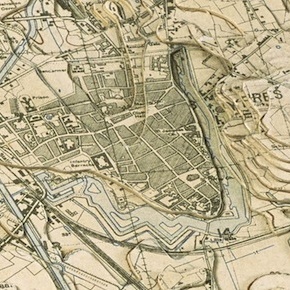
From questions of war and peace to understanding the movements of people, nature and even the financial markets, the new exhibition at the British Library, Maps and the 20th Century: Drawing the Line, explores how maps have become increasingly present in daily life. The exhibition looks at the spectacular advances in the technology of mapping...

Lines in the Ice: Seeking the Northwest Passage
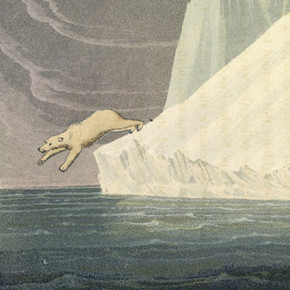
Just a matter of weeks after the long-anticipated discovery of Sir John Franklin’s lost ship HMS Erebus, the British Library looks back on 400 years of fascination with the fabled Northwest Passage. From Charles II’s lavish personal atlas to 19th-century woodcut illustrations and wooden maps crafted by Inuit communities, Lines in the Ice features material from Europe, Canada and...

